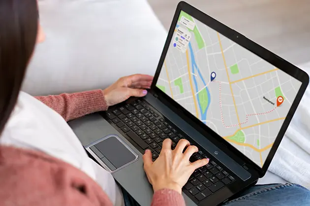
Property boundary applications have become useful tools for homeowners and real estate professionals alike. These apps make it simple for users to locate and define property boundaries, reducing the risk of disputes and aiding in property purchasing decisions. However, like any tool, the top property management app or property boundary apps face their own set of challenges. In this article, we will delve into some obstacles encountered by users of property boundary apps and explore potential solutions.
Accuracy Challenges
Property boundary apps heavily depend on data to outline boundaries accurately. Nonetheless, accuracy may be compromised at times due to incomplete data sources. Inaccurate boundary delineations can result in errors for homeowners or professionals who rely on these apps. To mitigate these risks, using a map that shows property lines can provide more reliable and comprehensive data, ensuring that boundary delineations are precise and trustworthy.
Furthermore, enhancing algorithms utilized to analyze and interpret data can greatly improve accuracy.
Complexity of Legal Language
Defining property boundaries often entails grasping descriptions and terminology that might confuse app users lacking a legal background. Without guidance or clarification, within the interface of an app that shows property lines, users may find it challenging to comprehend the information presented.
One potential solution involves simplifying the language used in property boundary applications by translating terminology into language that a wider audience can understand. Offering explanations or definitions for terms through pop-ups can also assist users in navigating through legal descriptions more efficiently.
Limited Coverage Areas
A common issue faced by users of property line apps is the coverage area. Some apps may only offer information for specific regions or countries, leaving individuals outside these areas without access to accurate data.
To address this challenge, developers should prioritize expanding their coverage areas by partnering with surveying agencies and land authorities globally. Collaborations with governments or surveying organizations could grant access to datasets, ensuring a wider array of properties can utilize the app’s functionalities.
Access to Historic Boundary Data
It is crucial to consider changes in property boundaries over time in instances involving properties. However, acquiring data may pose difficulties as it might not be readily available or easily accessible via property line applications.
Developers should explore integrating historical land records and surveys into their apps, enabling users to examine and compare past boundaries seamlessly.
This new feature would help homeowners and professionals better grasp the history of land ownership and identify any occurrences or encroachments.
User Interface Design
The design of property line application user interfaces is crucial for delivering a user experience. If the app’s layout is cluttered or confusing, users might find it challenging to explore its functions or interpret details effectively.
Simplifying the user interface design by prioritizing ease of use, navigation, and clear visual aids can significantly improve the user experience. Incorporating tooltips or interactive guides within the app can also assist users in exploring features and maximizing available tools. For example, ensuring user interface design with SurveyVista can help eliminate the challenges associated with a cluttered app layout.
Integration of Additional Property Information
While defining property boundaries remains a key aspect of these applications, many users could benefit from accessing supplementary property-related information like zoning regulations, parcel characteristics, or neighboring land usage.
By integrating databases and APIs into property line applications, developers could offer insights into properties beyond just boundary delineations. This added information can help users make informed choices when it comes to buying, selling, or developing properties.
Conclusion
Property line applications have transformed how homeowners and real estate professionals identify and comprehend property boundaries. While these apps are valuable, they encounter difficulties concerning precision, intricate terminology, limited geographical reach access, data user interface design considerations, and the incorporation of details required by users.
By tackling these obstacles through database updates and enhanced algorithms for accuracy improvement, both personal and professional users can expect significantly positive results. Streamlining the jargon used, broadening coverage areas, integrating boundary data, enhancing user interface design with easy navigation and clear visual presentation features, and incorporating additional property-related information, such as zoning regulations, would ensure that property boundary applications deliver an engaging, informative, and user-friendly experience for all their users.


